
Wetzel County Map Layers
The WV Property Viewer is the statewide parcel map. It is tied to Wetzel County assessment and GIS data. It draws surface-tax parcel shapes with assessment attributes for each parcel number. Aerial images and other overlays depend on the live viewer. Treat the table as a guide to functions the state describes. It is not a promise that each overlay is switched on.
| Layer | What It Shows | Use |
|---|---|---|
| Surface parcels | Tax-parcel polygons and map identifiers. | Locate a parcel and copy its key. |
| Assessment attributes | Owner, value and class data linked from county systems. | Move to the Assessor card; verify the live fields. |
| Aerial imagery | Visual land and building context when enabled. | Orient a search, not survey a line. |
| Tax maps | District and sheet depictions, including archived PDFs. | Trace older map references and plats. |
| Other overlays | Flood, hazard, district or zoning context if active. | Confirm availability and facts with the agency. |
Copy the parcel key from the map first. Then open the Assessor record and compare the legal description. The County Clerk's deed or plat controls what was actually conveyed. The state map itself warns that local assessment data can contain errors. Report any discrepancy to the Wetzel Assessor rather than treating the polygon as final. The state viewer page lists Wetzel as a selectable county. Open the WV Property Viewer. Run a narrow address or parcel search to reach the intended map.
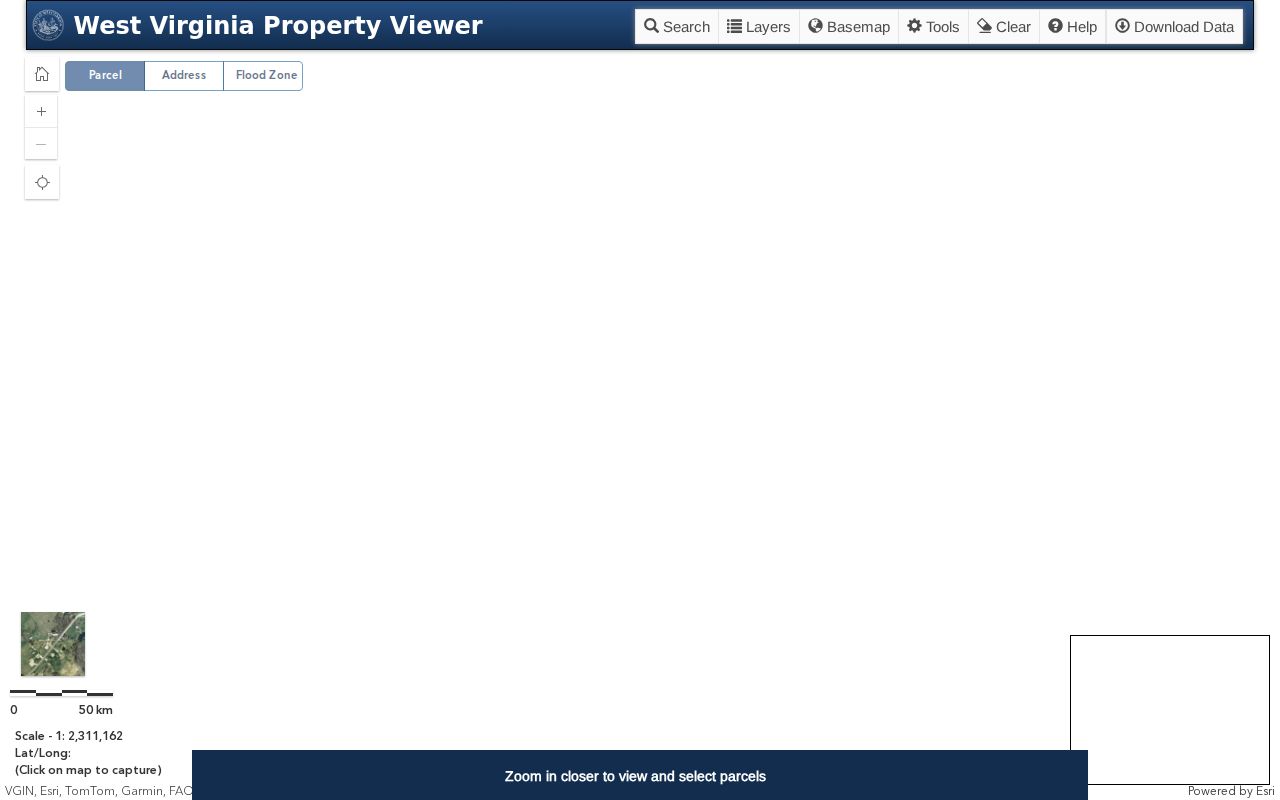
The image shows the statewide tool used to locate a surface parcel in Wetzel County. Confirm its fields against the current county tax card before relying on them.
Wetzel Viewer’s 1,000 Result Cap
The WV Property Viewer caps a result list at 1,000 records. Results appear in the viewer's Search panel. A broad Wetzel County search can stop at that cap before every possible match is shown. Narrow the area or use a parcel key instead of drawing conclusions from the first screen. The state's parcel file is rebuilt each year from county GIS files. Centralized assessment attributes ride along with those shapes. The display is therefore a statewide map assembled from county source material. The county offices hold the authoritative versions.
| Address | Text or autocomplete search is described; exact live label is not verified. |
|---|---|
| Parcel key | Use the copied map number; exact format is not published. |
| County | Choose Wetzel in the statewide viewer or map extent. |
| Identify / layers | Click a feature and inspect available overlays; live options need confirmation. |
| Results | Search-panel list is limited to 1,000 entries. |
When source information is wrong, the state viewer sends users to the local Assessor. Wetzel County does not publish its exact parcel identifier format. Copy the number exactly from the tax card, punctuation and all. Ask the Assessor if it fails in another system. The identifier bridges the viewer to the tax roll. It does not define a legal boundary by itself.
Wetzel Center District Tax Maps
The WV GIS Clearinghouse archives Wetzel County tax-map PDFs. A 2022 Wetzel Center District map sheet is one example. It can help translate an older district-and-map reference into a modern location. An archived sheet gives useful parcel context and map history. It is not a recorded subdivision plat, though. It should not settle a boundary dispute. The Clearinghouse landing page supplies broader GIS access for Wetzel County property records.
Use the state archive as a map-sheet source. Then ask the Assessor or County Clerk for the current or recorded document.
Wetzel Parcel Keys and Legal Descriptions
A parcel key moves you between the map, the tax card, and the land record. The county does not publish a fixed Wetzel APN format. Preserve punctuation and leading digits exactly rather than rewriting the number. A legal description is separate text describing the land itself. In a subdivision, it may cite lot, block, and plat book and page. A rural tract may use metes and bounds, survey references, and adjoining owners. It does this instead of a street address.
The same key can appear on more than one record. When it does, compare the description and district as well as the digits. A modern address can change while a deed description stays stable. For an amendment, vacation, or lot split, request the recorded plat and its later filings. Get them from the County Clerk. The parcel map makes the sequence easier to see. It does not replace the filed drawing.
Check whether the card and map describe the same unit of land. One parcel can contain multiple recorded lots. A later deed may convey only part of the larger tract. Mineral rights can also be reserved or transferred separately from the surface. The state viewer is a surface-tax display, not a mineral-ownership map. Wetzel's historic Land, Royalty or Oil and Gas, and Coal book divisions continued through 1985. Questions about those interests may require older Clerk volumes alongside the modern parcel key. Keep each map sheet name and any book or page reference with the parcel number. That makes a later courthouse request easier to route.
For a boundary review, note the map date, layer name, and exact scale. Reopen the official viewer to confirm the displayed county and parcel. Compare it with the archived tax map or the recorded plat. Printed web maps can resize and lose a reliable measuring scale. Neighboring linework may appear to overlap or leave a gap. If so, ask the Assessor whether the mapping layer is under correction. Then use the filed legal description and a survey to resolve the land's location.
Find Wetzel County Parcels by Address
An address search in the WV Property Viewer usually turns up one candidate polygon. Copy the map key it shows. Click the shape to open the parcel attributes in the live map. Field labels and optional layers may shift over time. The viewer may or may not support an owner lookup. When the map gives only a parcel clue, take the key to WV IAS. The full assessment card there carries the rest of the property record.
- Search the address or narrow the map to Wetzel County.
- Identify the likely surface parcel and copy the map key exactly.
- Use visible aerial or reference layers for orientation, not for a line measurement.
- Open WV IAS for assessment details and the County Clerk record for the deed or plat.
- Parcel number
- The map and assessment key that connects a surface shape with a tax card.
- Plat
- A recorded drawing that lays out parcels or a subdivision.
- Lot and block
- A platted description that points to a numbered lot and its block.
- Metes and bounds
- A land description written with measured calls and boundary references.
- Easement
- A recorded right to use part of land for a stated purpose.
Paden City’s Wetzel-Tyler Map Line
Paden City straddles two counties. A result labeled with the city name can land you in Tyler County land records. That may not be Wetzel County. Check the parcel polygon, the county indicator and the legal description. Then decide which assessor or county clerk holds the file. ZIP 26159 covers a postal area, not a boundary. Streets and municipality names can look identical on both sides. The assessment and tax record follow different counties.
Once the parcel is found, write the county beside the parcel number. A road that crosses the line deserves a look at adjacent shapes. Check both county maps. The city permit office keeps its own application files. Deeds and assessments stay with the county. Follow the parcel jurisdiction. The mail label is not the answer.
Wetzel Rural Address and Plat Checks
Wetzel County 911 and addressing is listed at 304-455-6960. Call that office when a rural route, former road name or situs number does not match the parcel search. Ask for the current assigned address. Ask for any known prior address, then compare the answer with the assessor card. An address update never changes the deed's calls, survey or legal description.
For a subdivision parcel, request the recorded plat. Note the lot, block and book/page reference. For a rural tract, preserve each metes-and-bounds call, adjoining owner of record and survey reference. The state parcel map is a visual aid. The assessor's tax map and the County Clerk plat each show a different part of the record. The general Wetzel County property search route explains how the parcel number connects to the owner. It also shows the link to deed records.
What Wetzel County Maps Do Not Prove
GIS parcel lines serve tax mapping and public reference. They prove no surveyed boundary. They cannot settle an easement's width, define a watercourse line or reveal every mineral interest. Aerial imagery may show a fence or building, yet that feature sets no legal line. Parcel data sometimes needs correcting. When it does, the county and state map sources send users to the assessor.
Not a survey. Treat Wetzel County GIS parcel lines as reference only. Before building near a line or resolving a boundary dispute, use the deed and plat and hire a licensed surveyor.